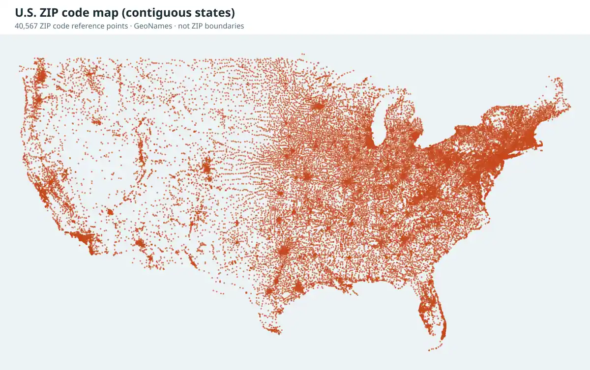
State ZIP code maps
Every state page includes a map of that state's ZIP code reference points and a downloadable list, for example the Pennsylvania ZIP code map, Florida and Texas.
How to make your own ZIP code map or heat map
- Prepare a table with one row per ZIP code (kept as text so leading zeros survive) and the value you want to show, such as customers or sales.
- Get shapes. Download Census ZIP Code Tabulation Area (ZCTA) boundaries from the Census TIGER/Line files.
- Join and color. In free GIS software such as QGIS, join your table to the ZCTA layer on the five-digit code and style it as a choropleth (heat map). Online charting tools can do the same from a CSV.
- Label honestly. Note that ZCTAs approximate ZIP codes and state the year of the boundary file.
Where to find ZIP code boundary maps
- Census ZCTAs: free shapefiles that approximate ZIP areas from census blocks, available from the Census Bureau's TIGER/Line products.
- Google Maps: searching a five-digit ZIP usually highlights an approximate outline. See Google Maps and ZIP code searches.
- GIS platforms: Esri and other vendors license maintained ZIP boundary layers. See Esri and ZIP code searches.